Luis Cabrera Avenue
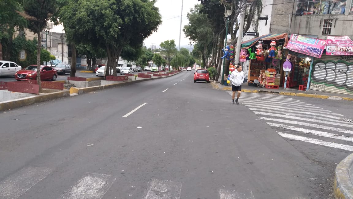
Photograph by Paola Naomi Juárez Hernández, 2019.
Address: Av. Luis Cabrera, La Malinche, Magdalena Contreras, 10020
Description:
Luis Cabrera avenue runs east-west from Periférico Sur to Corona del Rosal Street. In 1940, most of the land was use for farming and herding. Since 1980, the area has seen the rapid construction of housing complexes and avenues.
Read more
The Water Tank
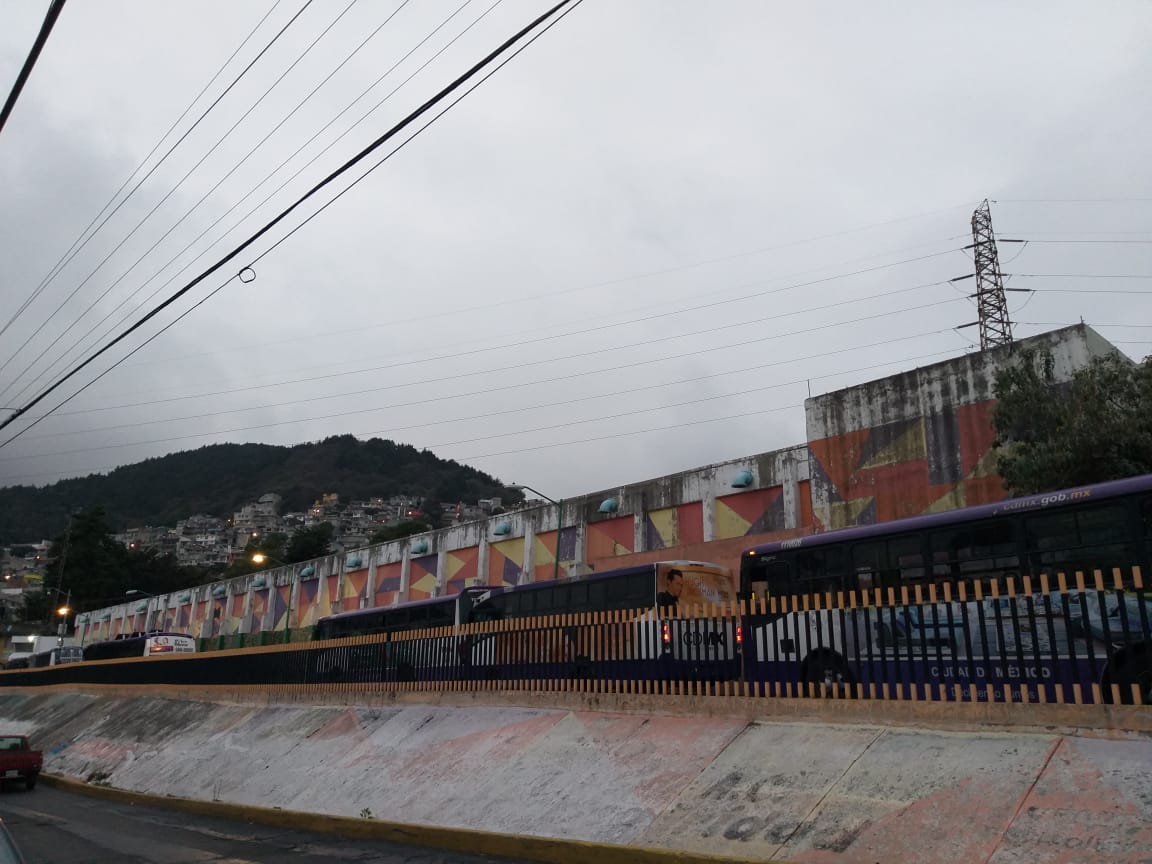
Photograph by Paola Naomi Juárez Hernández, 2019.
Address: Tra. Cda. Corona del Rosal 4, El Tanque, Magdalena Contreras 10340Hacia 1960, el tanque se construyó para abastecer de agua a las colonias aledañas, por lo que los vecinos del lugar le dan mantenimiento.
Description:
Around 1960, the water tank was built to supply water to the surrounding neighborhoods. Residents take very good care of the place and have decorated its walls.
Read more
Cerro del Judío Market
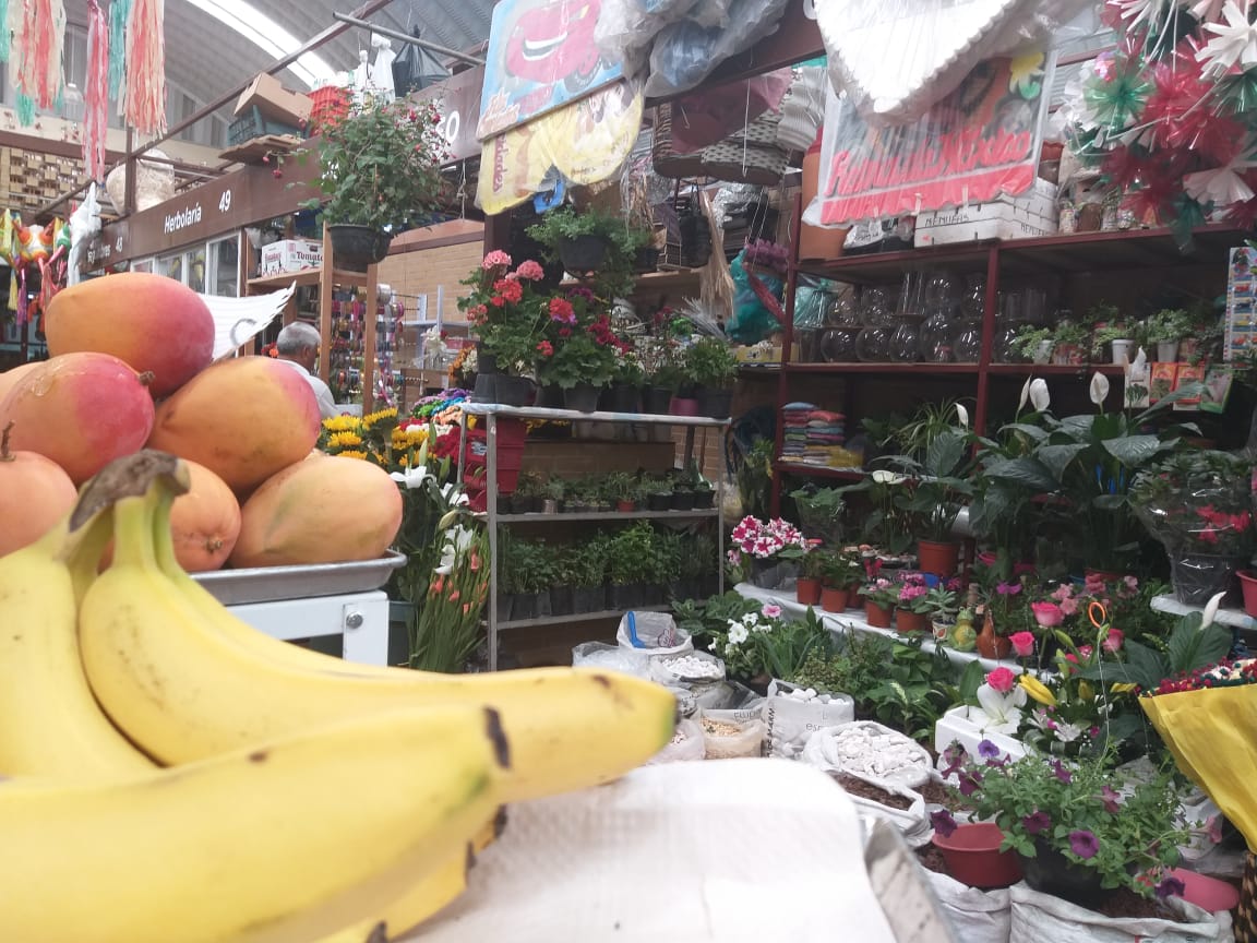
Photograph by Paola Naomi Juárez Hernández, 2019.
Address: L-32, Barros Sierra, Magdalena Contreras 10380
Description:
The market was recently demolished and rebuilt with an underground parking lot, which has improved the traffic in the area. The market will have WiFi "so that kids can access the Internet while they buy groceries". This new technology will allow its customers to pay with credit cards or with the Senior Citizens card. Tenants are quite happy with the modernization of their market, as they will be able to compete with chain supermarkets.
Read more
"Small Waterhole" River
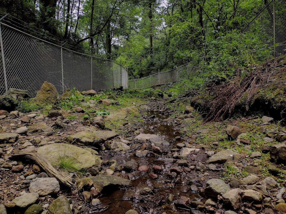
Photograph by Pamela Anahí Ayala Alvarado, 2021
Address: Carretera Picacho-Ajusco Km. 10.5, La Magdalena Contreras, 10900
Description:
The "ojito de agua" is the colloquial name by which this stream is known. Not long ago, the surrounding communities extracted water from this stream, but the modernization of the area introduced the necessary infrastructure to exploit its waters.
Read more
The Waterfall
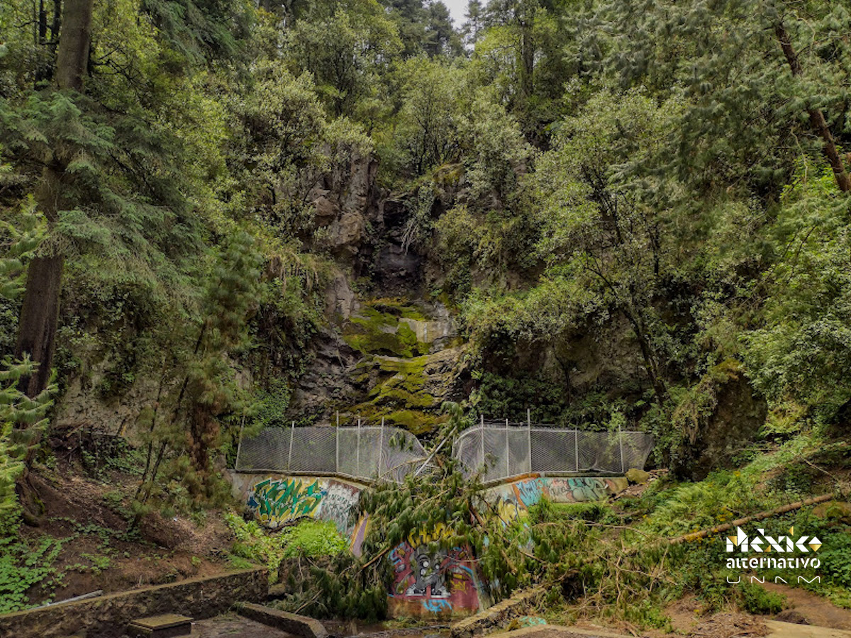
Photograph by Pamela Anahí Ayala Alvarado, 2021
Address: Carretera Picacho-Ajusco Km. 10.5, La Magdalena Contreras, 10900
Description:
A decade ago, it was possible to visit the waterfall that has dried because of the nearby development, despite it is a protected natural area.
Read more
Chichicaspatl Fields
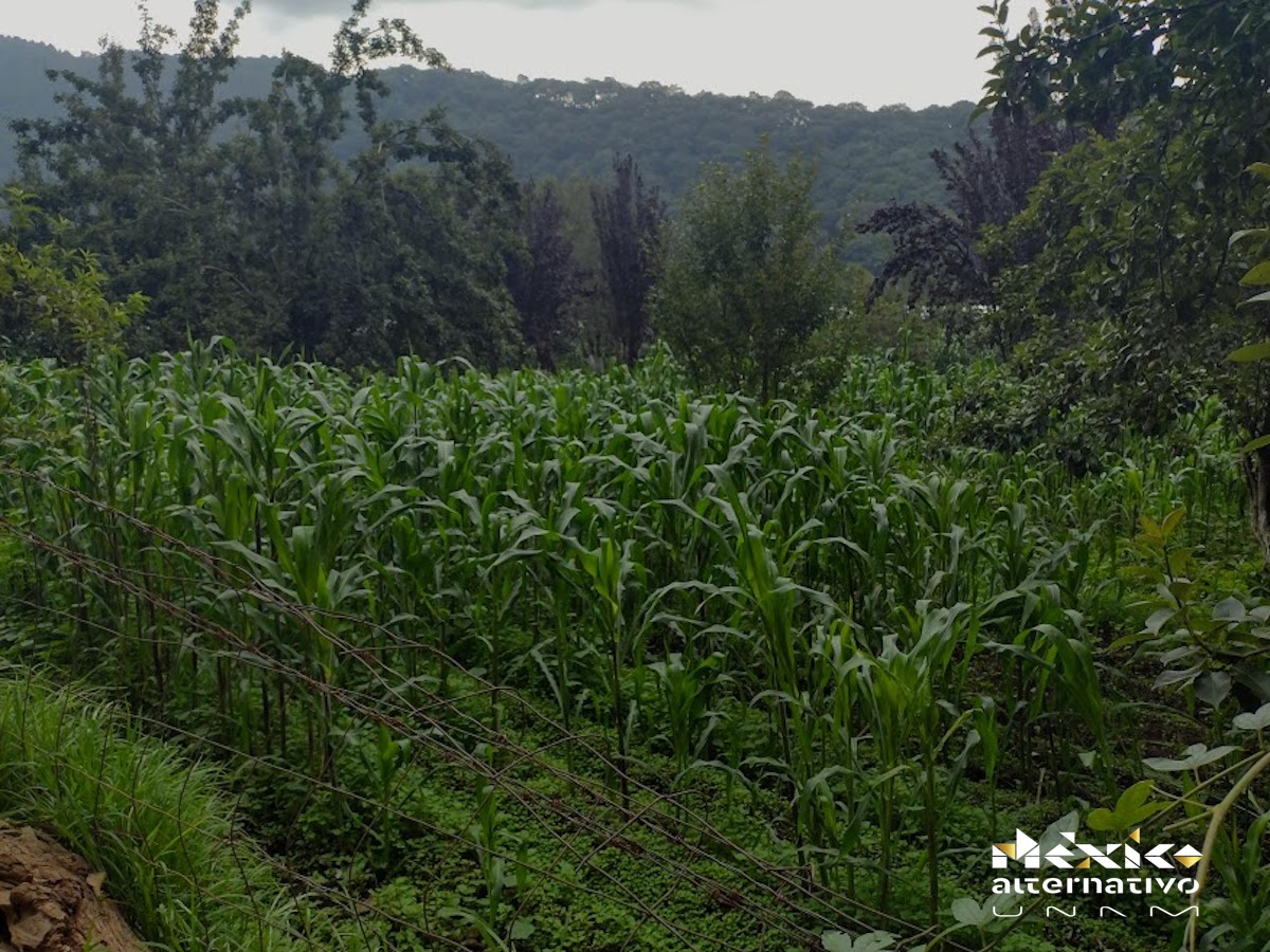
Photograph by Pamela Anahí Ayala Alvarado, 2021
Address: Tierra Colorada, La Magdalena Contreras, 10900
Description:
Population growth has forced families to settle around the Pedregal de San Nicolás-Chichicaspatl. In these fertile lands, these families cultivate corn, apples, pears, even plums, which are offered at various markets.
Read more
Virgin painted on the landscape
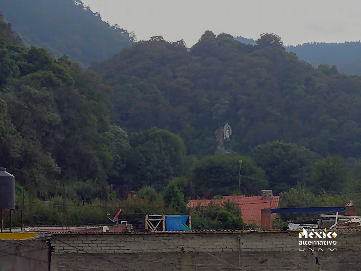
Photograph by Pamela Anahí Ayala Alvarado, 2021
Address: Tierra Colorada, La Magdalena Contreras, 10926
Description:
If you visit Tierra Colorada you will see a virgin painted on a cliff, imprinting the landscape.
Read more
Parque Ejidal San Nicolás Totolapan
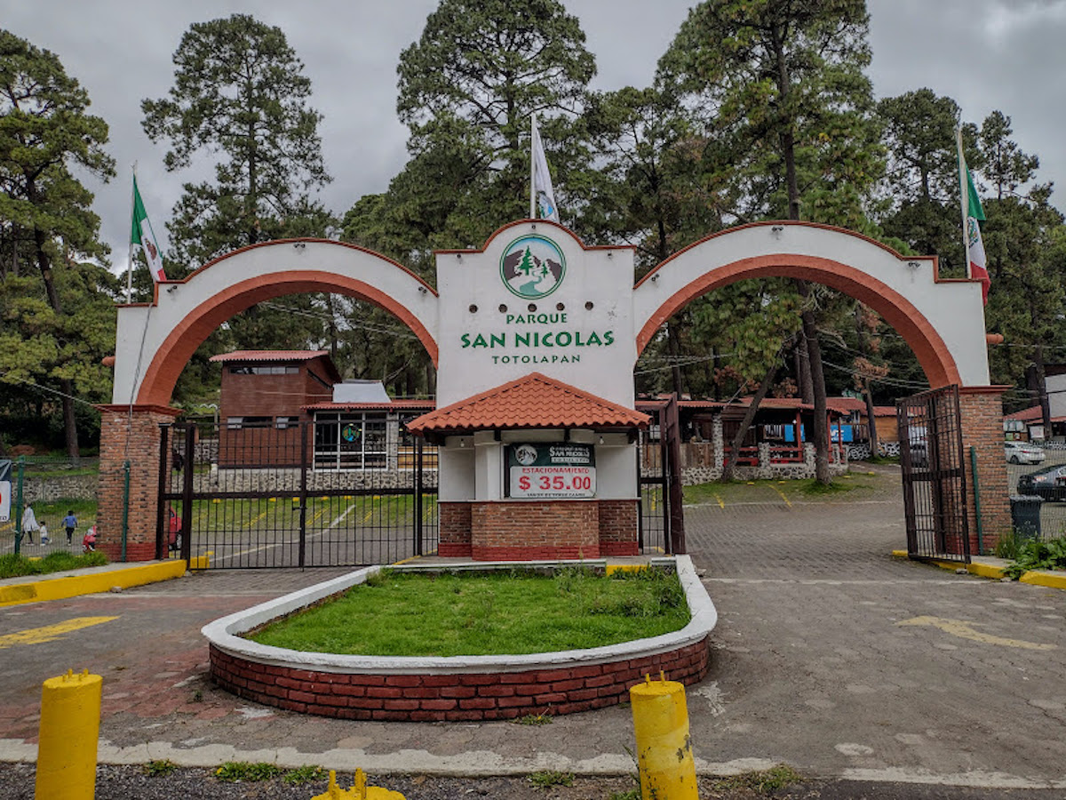
Photograph by Pamela Anahí Ayala Alvarado, 2021
Address: Carretera Panorámica Picacho-Ajusco, Km 11.5, Chimilli, La Magdalena Contreras, 14749
Description:
In 1998, the authorities of Tlalpan and Magdalena Contreras provided the necessary infrastructure to offer a series of activities to the public which include mountain biking and horseback riding. The conservation of its 2300 hectares of forest and plains contributes to the environmental sustainability of Mexico City.
Read more